
Council Bluffs ZIP Coverage
Official USPS labeling material identifies 51501 through 51503 as the Council Bluffs city range. Each number has a different role in local records. The range is a postal label, not a polygon that proves incorporation. County precinct addresses and city address data provide the local detail needed to use it safely.
| ZIP Code | Areas Covered | Post Office | Notes |
|---|---|---|---|
| 51501 | Core city addresses and many central, north, and south precinct sites | Main Office, 8 S 6th St | Used by the courthouse and many city precincts |
| 51502 | Destination ZIP in county mailing addresses | Confirm current designation through USPS | Routing notices connect it with 51501 and 51503 |
| 51503 | City Hall, library, city precincts, and rural county addresses | Confirm the current carrier assignment | Largest city-limit mismatch |
Carter Lake uses 51510 and remains separate from this three-number set. No official source supported adding it to the Council Bluffs ZIP code directory. Likewise, no official per-ZIP population count for these three areas was found, so a postal range must not be described as a resident total.
The Main Post Office at 8 S 6th Street uses 51501, while City Hall and the Council Bluffs Public Library use 51503. Those familiar civic addresses show that the range is not a simple east-to-west list of neighborhoods. County records also publish rural Garner and Lewis polling sites with Council Bluffs mailing lines. A reliable ZIP code directory therefore records the postal number first, then checks the address point, parcel, precinct, and incorporated-city fields before describing the location. That distinction matters when two sources show the same city name but answer different geographic questions.
Council Bluffs Postal Routing
The USPS FAST labeling list is the official source for the 51501-51503 range. It is useful for standardized city labels, but it is not a municipal map. Verify a specific home with the USPS ZIP Code Lookup before searching a local portal.
The official range screen shown below documents how Council Bluffs is grouped for labeling.
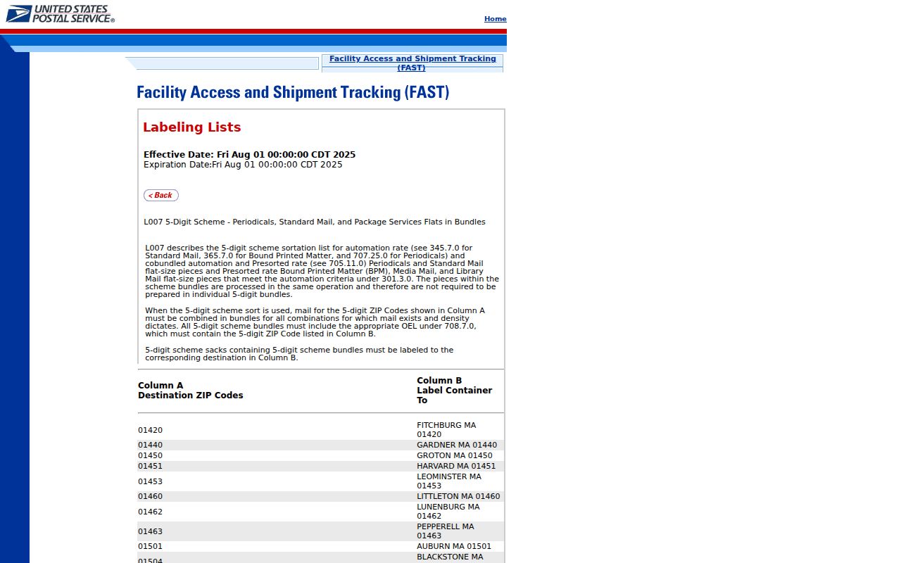
This table confirms routing language. It does not show parcel boundaries or prove whether an address is inside Council Bluffs.
Search Council Bluffs by ZIP
Several official tools accept postal information, but they answer different questions. The county assessor accepts a town or ZIP alongside owner, address, and parcel inputs. Iowa's voter lookup requires a first name, last name, and ZIP for an individual match. The county polling tool starts with ZIP selection and then routes toward polling-place and ballot details.
| Portal | ZIP control | Other input | What it returns |
|---|---|---|---|
| County Assessor | Town or ZIP | Owner, address, or parcel | Tax parcel and property card |
| Iowa voter search | Required ZIP | Required first and last name | Individual registration and polling route when matched |
| County polling lookup | Starting selector | Election workflow | Polling place and sample-ballot route |
| City address layer | PostalCode field | InCity and ParcelID fields | Address and city-status comparison |
- Enter the full address in USPS Lookup and preserve the standardized result.
- Search the assessor with the address or parcel, using town or ZIP only to narrow it.
- Compare PostalCode with the City address layer's InCity field.
- Use the county GIS municipal boundary and ZIP layers to see where the two geographies differ.
- For a named person, use first name, last name, and ZIP in the Iowa voter lookup.
A ZIP search does not produce a complete list of residents. The assessor is parcel based, and the public voter form checks one person. Once a result narrows to a road, the Council Bluffs street directory provides the street-level record path.
Council Bluffs ZIP Precinct Clues
The Pottawattamie County precinct list supplies concrete examples. Council Bluffs precincts CB 01-06, 11, 14-18, 20, and 21 use 51501 at their listed locations. CB 07-10, 12-13, 19, and 22 use 51503. Those are polling-site addresses, not population counts or complete boundaries.
The ZIP-first polling screen shows how the county starts its lookup.
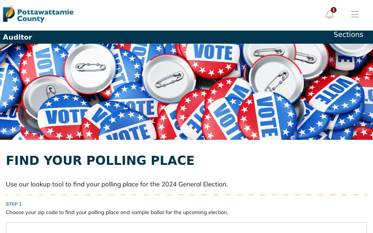
The captured page referenced the 2024 General Election. Check its current election label before relying on live instructions.
51503 Routing Changed Over Time
Postal geography can change while municipal and parcel lines stay put. A 2005 USPS bulletin moved 198 former 51503 deliveries to Treynor 51575, 36 to Underwood 51576, and 143 to Crescent 51526, effective February 5. A 2018 bulletin changed container routing for 51502 and 51503 from 51501 to 51503. That later notice is not proof of a street-level ZIP boundary change.
Historical research should use the ZIP printed in the dated source, then check a directory, plat, deed, or Sanborn map. Modern postal numbers should not be projected onto nineteenth-century Council Bluffs residents.
Council Bluffs ZIPs Versus Limits
The 51503 mailing area includes City Hall and the library, yet county election records also show rural Garner and Lewis area addresses with a Council Bluffs postal line. The City address layer therefore carries both PostalCode and an InCity yes-or-no field. County GIS adds a municipal-boundary layer. Together they provide better evidence than a city name typed after an address.
That mismatch changes which custodian can answer the next question. The City Clerk and city permit system cover Council Bluffs municipal records, while county assessment, deed, election, and court records extend beyond the incorporated boundary. A 51503 address outside the city can still belong in Pottawattamie County systems without belonging in a city permit search. Conversely, a postal correction can alter the last line while leaving the parcel number, legal description, precinct, and municipal status intact. Preserve each dated address form when tracing an older resident.
- ZIP and ZIP+4
- A five-digit delivery area and an added four digits that refine delivery within it.
- PO-box ZIP
- A number used mainly or solely for post-office boxes rather than a city district.
- Unique ZIP
- A ZIP assigned to one high-volume organization. No such Council Bluffs claim is supported here.
- Carrier route
- A delivery sequence used by USPS, not a municipal or parcel boundary.
Resolve Council Bluffs ZIP Conflicts
Use a fixed source order when postal and government records disagree. Start with delivery, then test political geography and land identity. This prevents a routing label from overriding an official parcel or annexation record.
- Verify the current address through USPS.
- Query the City address layer for PostalCode, ParcelID, and InCity.
- Compare the county GIS municipal boundary.
- Open the assessor card for the situs address and legal description.
- Use the Recorder's plat or deed when boundary history remains unclear.
The 2012 annexation of 10410 Bunge Avenue is a local example of why time matters. A Council Bluffs mailing line can predate incorporation, and a later city action can change jurisdiction without changing every postal clue.
USPS Council Bluffs Address Check
The interactive USPS tool accepts an address to return its standardized postal form. It should be used for delivery verification, not for naming residents or measuring city limits.
The USPS lookup page shown below is the official place to confirm a current ZIP.
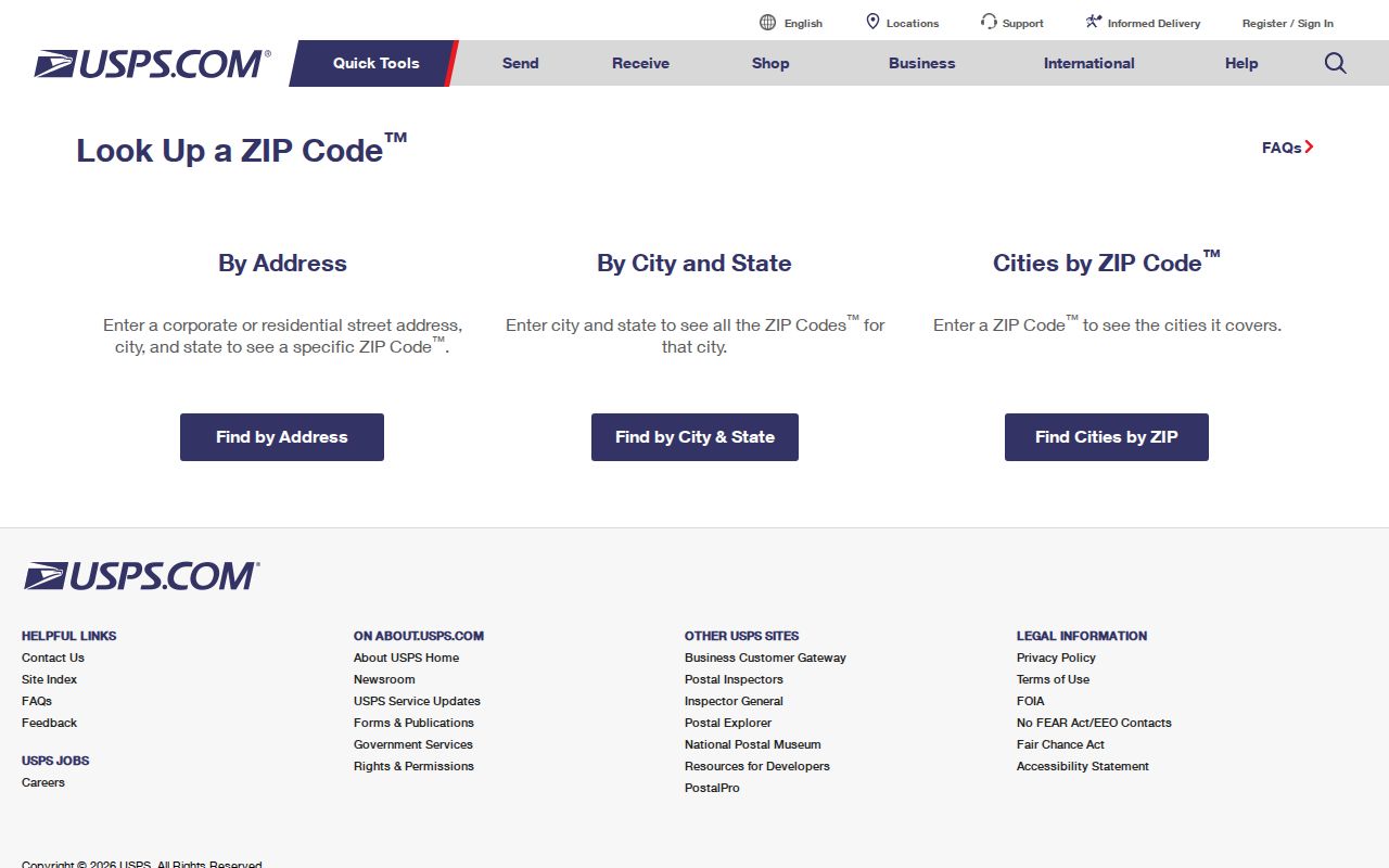
Copy the returned address exactly, then carry it to the local GIS and assessor. If no stable result appears, do not guess a station or carrier assignment.
Note: The ZIP code directory narrows an address search, while the parcel and InCity fields settle different questions.